Ukraine accuses Google Maps of ‘revealing location’ of its military | World | News
Ukrainian defence chiefs have accused Google of accidentally revealing the location of some of its key military positions to Russia.
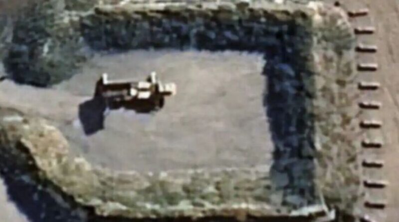
Kyiv claims that the latest Google Maps update is to blame for Russia finding out where many of Ukraine‘s military installations are.
Andriy Kovalenko, head of Ukraine’s counter-disinformation unit at the National Security Council, says the Kremlin is already “actively distributing” screenshots of the maps and sending them to their troops.
Lt Kovalenko hit out at the tech behemoth on social media.
He wrote on Telegram: “Imagine the situation. Google displays updated images of maps showing the location of our military systems. We are contacting them to fix it quickly.”
He added: “The Russians are already actively dispersing these pictures. What is wrong with this world?”
In a later statement, the lieutenant said that Google representatives had “reached out” and were working to solve the problem.
He did not precisely detail which of Ukraine’s military installations were exposed by Google Maps – the highly popular navigational tool that enables users to use satellite imagery to get around.
Despite the claim that Google had worked to resolve the issue, Russian bloggers rejoiced. What’s more, Ukraine itself noted that the Kremlin had already shared the images.
One Russian blogger shared air defence systems ringing an airport near Kyiv.
One such blogger reposted Lt Kovalenko’s complaint and then wrote, next to a laughing emoji: “Tomorrow will come and then you will be killed.”
A Google spokesperson said: “These satellite images were taken more than a year ago and come from widely available sources – we intentionally do not publish recent imagery of conflict areas. We take requests like these very seriously, and are in touch with Ukrainian officials.”


